First published 30 March 2020

Ceret, an undiscovered cycling paradise in the deep south of France
A few kilometres down the road cyclists throng the streets of Girona. The Catalonian town has become famous as a hub for professionals who ride the local roads en route to the Grand Tours. Without doubt the cycling in the countryside around Girona offers much to commend it and yet, just an hour’s drive across the French border, if you are a Madrileño, or in northern Catalunya, if you are a Barceloní(na), is a small, little known French town called Céret nestling in the foothills of the eastern Pyrenees where the riding, I would say, is just as good and in many ways better.

Céret lies about an hour by car north of Girona - a well-known residence of many pro cyclists
A quick glance at a map will show you one reason why. While north eastern Spain has some delightful quieter roads – the one through Montagut, Beget and Rocabruna is a personal favourite – the routes to and from them are often perforce along more major roads like the N260. Céret offers cycling on quiet roads almost straight out of your front door and if you really want, much of what Girona has to offer is just a short drive away if your legs won’t take you all the way there and back!
There is a wide variety of rides and routes which fall into roughly three categories:
1. Short, local, hilly training loops where you can ascend 800-1000m in as little as 40 kilometres.
2. Longer rides in the hills to the north of the town to the neighbouring valley or, for the even more adventurous, the valley beyond
3. Cross border excursions via either the back roads (sometimes with a bit of gravel for those that like that sort of thing) or the Col d’Ares or hop in a van and access some Gironan rides (Rocacorba, etc) in c 45 minutes.
Céret really is an undiscovered cycling secret and I write this blog already in two minds: one wanting to share the fantastic rides I have discovered here, the other frightened to give away too much and turn the ‘secret’ into another ‘cycling Mecca’ like Mallorca! Fortunately for you the former is just about winning over the latter so below is the first of my Céret ride guides.

Céret is surrounded by rolling, wooded hills
Lac de Vinca 158 Km – 3000m


This is one of my favourite northern loops and can be ridden in both directions either partially or wholly. It’s a big enough day out but can be shortened by around 40 kilometres if you miss out the loop via Lac de Caramany and simply turn left at Bouleternère and head straight to Vinca but if you have the time, the full route is so much more rewarding as it takes in ‘Les Orgues’ – the strange rock pillars north of Ille-sur-Têt as well as the Lac de Caramany and avoids a schlep along the N116 – which is a reasonably busy road.
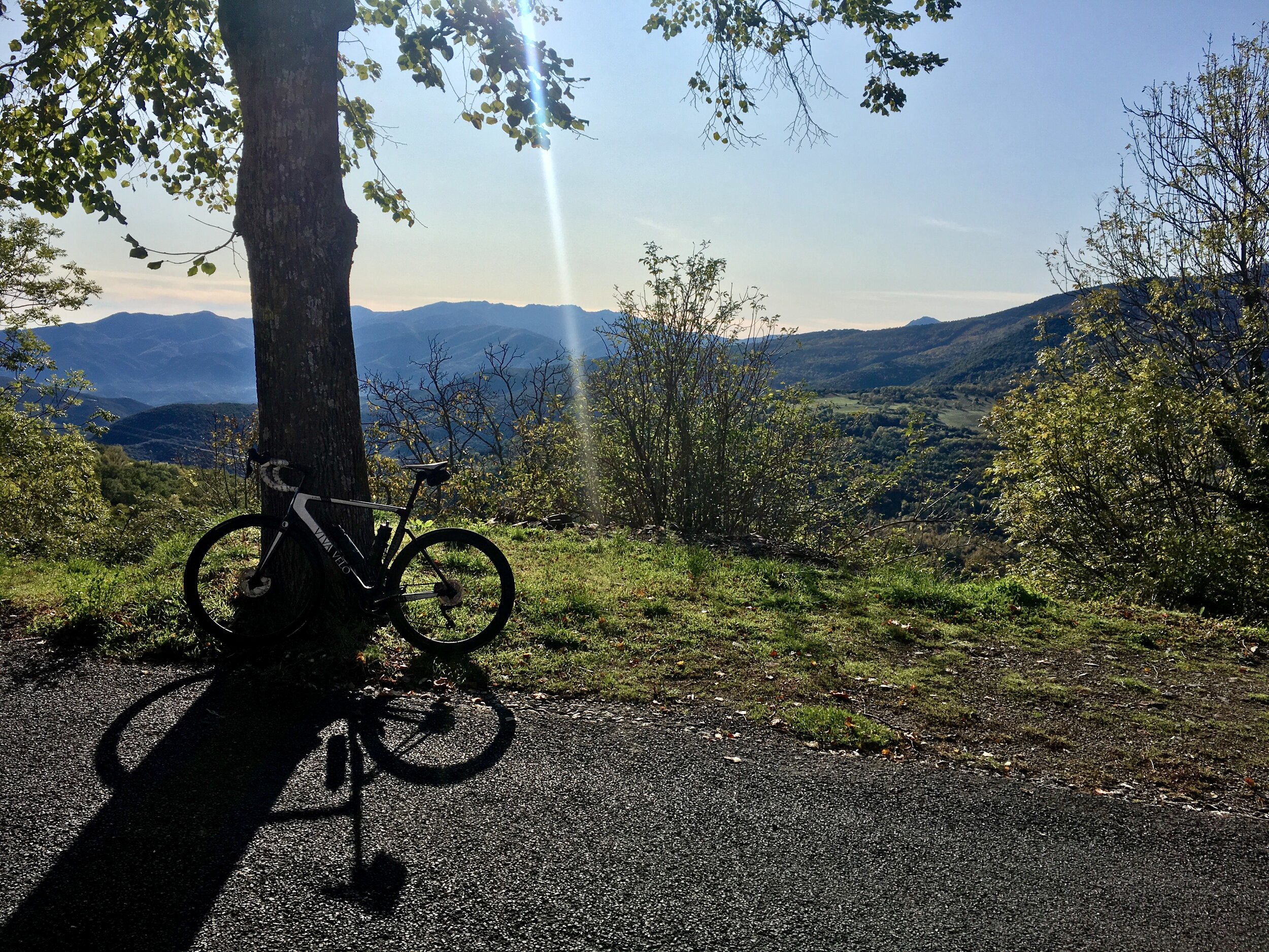
The route if ridden as per the Ride with GPS link above starts on the cycle route which leads to the west out of Céret before crossing the River Tech appropriately at Le Pont and heading into the hills. The roads are incredibly quiet and it is rare to encounter more cars than you have fingers before you crest the top of this long gently rolling climb just past the village of Saint-Marsal where there is a actually a bar/restaurant open in summer. The climb itself is largely wooded – a blessing during the warmer months and/or if the wind is blowing - with the trees parting every so often to reveal beautiful panoramic views of the surrounding hills.

Les Orgues - the strange rock formations visible from the route to the north of Ille-sur-Têt
At the Coll d’en Xatard we begin the long descent into the Têt valley via Boule-d'Amont and the El Bolès gorge. In total the descending lasts for some 25 kilometres. Initially it is gradual but then as you turn north the gradients increase and the twists and turns mean you need to be lively on the brakes while still carrying momentum as the descent then becomes shallower. In short: don’t expect to stop peddling! It is a thrilling descent but beware: while the roads are virtually car-less they are not car free. So, avoid the temptation to cut corners unless your view of your exit is 100% clear!
The cycle track/back road from Bouleternère to Ille-sur-Têt is quiet but a bit rough in parts so chill out and enjoy the smell of the cherry blossom which surrounds you! The square in Ille-sur-Têt is pleasant enough with a couple of cafés and a cake shop to provide a bit if sustenance if required. But don’t eat too much because we are soon climbing again past the strange rock formations ‘Les Orgues’ (literally ‘the Organs’ – presumably because they resemble the pipes of a church organ) and on to Bélesta before a short descent takes us to the pretty village of Caramany and the bridge across its eponymous, man-made lake. The view is beautiful but enjoy it while you can as the next climb is without doubt the hardest of the day. Around 10 kilometres in total (with a short flat respite in the middle at Trilla) the road is narrow and not of the best quality with double digit ramps aplenty. It is sometimes at this point that you regret not taking the short cut from Bouleternère to Vinca I mentioned earlier!

View from the hills above the Lac de Caramany
But it is all worth it as after a descent into Trévillach and a punchy little climb back out again we plunge downhill through the little gorge cut by the river Tarerac towards the Lac de Vinca. The town of Vinca itself is small and nothing particularly to write home about but there is a bar with a friendly owner who sells food (most of the time) and drink if restoration if required. And indeed, it might be, as the longest climb of the day now awaits. The ascent of the Col Palomère (1036m) is officially 20 kilometres long at an average gradient of 3.56% but, as is often the case, such bare statistics really don’t describe it well. Essentially it is three climbs in one. The first half of the climb to Baillestavy is gentle enough with a long final flat/false flat section leading into the village and the wonderfully situated Café Restaurant La Farga. The second (4 km) section from Baillestavy to Valmanya is much tougher at an average of 6.5% but shortly after leaving Valmanya the road flattens and then descends for about a kilometre and a half before pitching up again to around 7% for the final few kilometres. It is a lovely climb with frequent views of the sacred Catalan mountain, Canigou (2784m), to inspire your ascent.

View of the Catalan sacred mountain, Pic du Canigou, from Vinca.
The rest of the route is largely downhill although beware: those little rises on the profile can sap aching legs. The first part of the descent to La Bastide is narrow and technical but after climbing back to the Coll d’en Xatard (remember that?) and retracing our earlier route the road widens. Past Oms the tarmac is new too for a series of hairpins before we join the D615 for a beautifully flowing descent back into Céret.
An epic day out.